Concepts · For everyone
Photogrammetry vs LiDAR for Stockpiles: What an iPhone Can and Can’t See
Both methods turn a pile into a 3D surface you can measure. They get there differently, fail differently, and on a phone they work best together.
In short
- Photogrammetry rebuilds a surface from overlapping photos; LiDAR measures distance directly with laser pulses.
- iPhone LiDAR is accurate to about a centimeter up close but has an effective range of roughly 10–15 feet, so from the toe it can’t see the top of a tall pile.
- Lab tests put iPhone LiDAR within 0.6–1.9% on regular shapes and 4.5% on an irregular sand pile; drone photogrammetry studies report 0–3% volumetric error.
- Photogrammetry needs texture, light and a scale reference. LiDAR gives scale but not reach. Using photos for the surface and LiDAR for scale takes the strength of each.
How photogrammetry turns photos into a pile
Photogrammetry starts with many overlapping photographs taken from different places around a pile, from a drone overhead or a person walking the toe. Software finds thousands of small features that appear in more than one photo, works out where each camera must have been for those features to line up, and from the camera positions triangulates the 3D position of every feature. The result is a dense point cloud, which becomes a surface, which becomes a volume once a base and a boundary are set. Surveyors call the method structure from motion.
Photos alone have no sense of size. A model built from them is a perfect shape with no scale until something of known length is introduced: ground control points measured with GPS, an RTK receiver on the drone, two cones set a known distance apart, or, on a phone, the device’s own tracked motion and depth sensor. Get the scale wrong by 1% and the volume is wrong by 3%, because volume grows with the cube of length.
How LiDAR measures a pile
LiDAR skips the inference. A laser pulse leaves the sensor, bounces off the pile and returns, and the round-trip time gives the distance directly. Survey-grade terrestrial scanners and drone LiDAR units do this hundreds of thousands of times a second at ranges of hundreds of meters, which is why they are the reference other methods are checked against.
The LiDAR in an iPhone Pro is a different instrument built for a different job. It is a short-range depth sensor designed for autofocus and augmented reality. A peer-reviewed evaluation of the iPhone 12 Pro sensor found it accurate to about a centimeter on small objects, with range as the main limitation. Stockpile Reports, which builds a photo-based measurement app, reports an effective range of roughly 10–15 feet on real piles. Beyond that the returns thin out and the phone falls back on visual tracking to stitch frames together, which drifts over a long walk.
Can you measure a stockpile with iPhone LiDAR?
The evidence says yes for small piles and no for large ones, at least on its own. A 2026 study in the ISPRS Archives scanned six physical models with an iPhone 12 Pro Max and computed volumes in the free CloudCompare software. Errors ran 0.56–1.88% on regular shapes and 4.45% on an irregular sand pile. Those were lab-scale piles well inside the sensor’s range.
In the field, Stockpile Reports describes the opposite experience: on piles 14 feet and taller the sensor could not see the top from the ground, so volumes came up short, and on a 6,000-ton pile the model skewed as drift accumulated around the walk. That account comes from a vendor with a stake in the answer, but the physics behind it is not in dispute. A sensor that reaches 15 feet cannot measure a 20-foot pile from its toe.
Where photos fail
Photogrammetry has its own blind spots. It needs texture: a surface of uniform black coal, wet dark sand or fresh snow gives the software nothing to match from photo to photo, and the surface comes out noisy or full of holes. It needs light: deep shadow on the north face, glare off a wet pile and dusk all degrade matching. It needs the scene to hold still while you walk, so a loader working the far side ruins the capture. And it needs that scale reference, which on a drone means ground control or RTK and on a phone means a sensor the phone already carries.
A 2020 study from the Estonian University of Life Sciences found drone photogrammetry within 4% of terrestrial laser scanning on every pile it tested, even without ground control points, and Pix4D’s own comparison of LiDAR and photogrammetry point clouds shows the trade: LiDAR is cleaner on vegetation and featureless surfaces, while photogrammetry carries color and detail and costs far less to capture.
Photogrammetry vs LiDAR at a glance
| Factor | Photogrammetry (phone or drone) | iPhone LiDAR | Survey LiDAR (drone or terrestrial) |
|---|---|---|---|
| Range | Limited only by what the camera can see | Roughly 10–15 ft effective | Hundreds of meters |
| Scale | Needs a reference: GCPs, RTK, LiDAR or tracked motion | Built in | Built in |
| Texture and light | Needs both | Works in low light; struggles on dark absorbent surfaces and in direct sun | Independent of texture |
| Tall piles from the ground | Stand farther back to keep the top in frame | Top is out of range | Fine at distance |
| Indoors or under a roof | Yes | Yes | Terrestrial yes; drone rarely |
| Cost to capture | A phone, or a drone and a pilot | A Pro-model iPhone | Tens of thousands of dollars or a crew visit |
| Published accuracy | 0–3% (drone studies); about ±1.5–2% (TxDOT phone app) | 0.6–1.9% regular, 4.5% irregular (lab piles) | The reference method |
Accuracy figures assume a consistent base surface; see the accuracy guide for what else moves a volume.
Why Stockpile Scan uses both
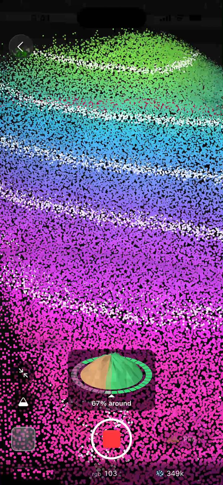
The two methods fail in different places, so a phone app can let each cover for the other. In Stockpile Scan the photos do the heavy lifting: as you walk around the pile the app aligns them and builds the surface, so the only range limit is how far back you can stand to keep the whole pile, top included, in frame. When the phone has LiDAR, the depth returns set the scale of that model precisely and narrow the ± range on the volume. When it doesn’t, the phone’s motion tracking sets the scale instead, the ± range is wider, and the scan still works on any iPhone running iOS 18.
That is the reason the app says no LiDAR required rather than no LiDAR used. The sensor is a scale reference and a confidence booster, not the thing that sees the pile. For how the range is worked out and what widens it, see how accurate a stockpile measurement is; for how this compares with other phone apps, some photo-based and some LiDAR-only, see stockpile measurement apps for iPhone; and for the point where a drone beats any phone, see drone vs phone for stockpile measurement. The broader menu of methods is in how to measure a stockpile.
Frequently asked questions
Does iPhone LiDAR work for measuring stockpiles?
For small, low piles within about 10 to 15 feet of the phone, yes: a 2026 lab study found volumes within 0.6 to 1.9 percent on regular shapes. For tall or large piles it cannot see the top from the ground and drifts over a long walk, so on its own it underestimates. Apps that build the surface from photos and use LiDAR only for scale avoid that limit.
What is photogrammetry in simple terms?
Photogrammetry is measuring from photographs. Software finds the same features in many overlapping photos taken from different positions, works out where each photo was taken from, and triangulates the 3D position of every feature to build a model. Add something of known size for scale and the model can be measured.
Is LiDAR or photogrammetry more accurate for stockpile volume?
Survey-grade LiDAR is the reference both are judged against. Drone photogrammetry lands within a few percent of it in published tests, under 4 percent in one study against terrestrial laser scanning. Phone LiDAR is accurate up close but range-limited, so on real stockpiles a photo-built surface with a LiDAR or GPS scale reference is usually the more complete measurement.
Do I need a LiDAR iPhone to measure a pile?
Not with a photo-based app. Stockpile Scan builds the surface from photos on any iPhone with iOS 18 or later. A Pro model’s LiDAR sets the scale more precisely and narrows the ± range on the volume, but a scan without it still produces a measured volume with its own range.
Measure your next pile with your iPhone
Stockpile Scan is free, with no ads, subscriptions or account. Photos build the surface on any iPhone with iOS 18; LiDAR, when you have it, tightens the ± range.
Any iPhone with iOS 18 or later. LiDAR optional. Learn more about the app.
Related articles
Sources and further reading
- ISPRS Archives (2026): Stockpile volume estimation with iPhone LiDAR and CloudCompare
- Evaluation of the Apple iPhone 12 Pro LiDAR for an application in geosciences (peer-reviewed)
- Stockpile Reports: Why SR Measure doesn’t use iPhone LiDAR for stockpile measurement
- Pix4D: LiDAR vs photogrammetry point cloud comparison
- Kokamägi, Türk & Liba (2020): UAV photogrammetry for volume calculations, Agronomy Research